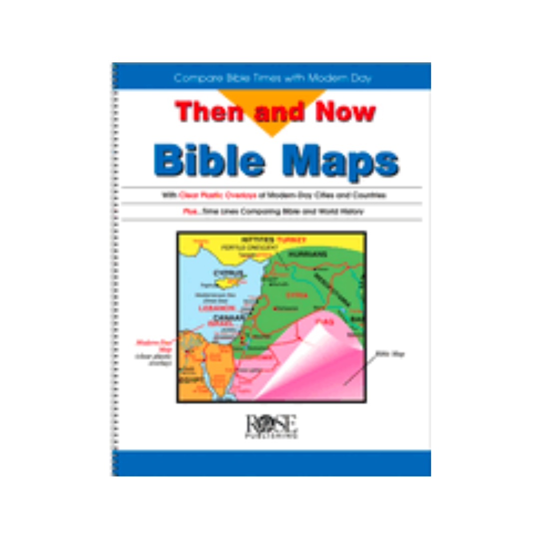
It's time to discover why the Then and Now Bible Maps from Rose Publishing book was the #1 Bible Atlas in 2007. This amazing resource allows pastors, teachers and those who enjoy studying the Bible to compare Bible-times with modern-day countries and cities at a single glance with the clear plastic overlays. Then and Now Bible Maps from Rose Publishing contains 20 pages of full-color Bible maps and time lines comparing Bible and world history. Hardcover book measures 8.5 x 11. Spiral binding makes it easy to use; opens flat for ease of use.
Make your Bible studies and teachings more relevant with Then and Now Bible Maps. This amazing resource contains:
- Maps of Bible-time regions with clear plastic overlays of modern cities and countries outlined in red
- Fascinating facts revealing today's geography for Bible-time places
- 92 places Jesus walked
- Paul's journeys
- The last days of Jesus in Jerusalem
- Old Testament time-line, The Beginning--1 BC
- New Testament time-line, 10 BC--AD 100
- A thorough index
The maps and modern overlays include:
- Middle East--Old Testament Assyrian Empire
- Babylonian Kingdoms and Persian Empire
- Holy Land--Old Testament (United Kingdom, Divided Kingdom)
- Holy Land--New Testament (inset of Jerusalem at the time of Jesus)
- Paul's Journeys
There's really no easier way to compare the geography of Bible times with modern day times than by using Then and Now Bible Maps from Rose Publishing. Now you can show your students as well as tell them about historical geographic changes in the Middle East and Holy Land regions.
Those you teach will be astounded to learn that:
- The ruins of Nineveh are in Northern Iraq near Mosul
- Noah's Ark probably landed in Turkey (Mt. Ararat is in northeastern Turkey)
- Paul was brought up in what would be Turkey today (Tarsus). He preached in Syria, Turkey, Greece and Italy
- The wise men were probably from Iran or Saudi Arabia
Then and Now Bible Maps includes:
- The Middle East during Old Testament Times
- Overlay of modern-day Middle East
- The Assyrian Empire
- Babylonian Kingdoms and Persian Empire
- Overlay of modern-day countries
- The Holy Land during the time of the Old Testament
- Overlays of United Kingdom, Divided Kingdom, modern-day Israel and surrounding countries
- The Holy Land during the time of Jesus
- Overlay of modern-day Holy Land with an inset of Jerusalem at the time of Jesus
- Modern Israel
- Paul's Journeys (Roman Empire at AD 60)
- Overlay of modern-day Mediterranean area
The Old Testament Timeline compares Bible history and world history at a single glance: The century Book of the Old Testament Bible history World history An inset of the kings of the Old Testament
The New Testament Timeline that allows people to compare Bible and world history at a single glance: The century Book of the New Testament Bible history World history An inset of the life of Jesus, AD 26-30 Life of Jesus facts cover the following eras of his life:
- Jesus' birth and youth
- Jesus' baptism and early ministry
- Ministry in Galilee
- Withdrawal from Galilee Ministry in Judea Ministry in Perea
- Final week in Jerusalem
- Resurrection
- Ascension
Then and Now Bible Map Book uses larger, easier-to-read type than most Bible atlases.
Pastors will want a copy of this resource for themselves and to have several throughout the church as a ministry resource.
An alphabetical index in the Then and Now Bible Map book makes research easy.